Services
Alves Lane
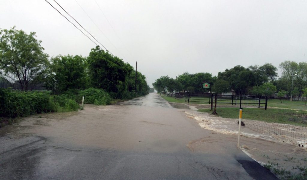
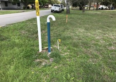
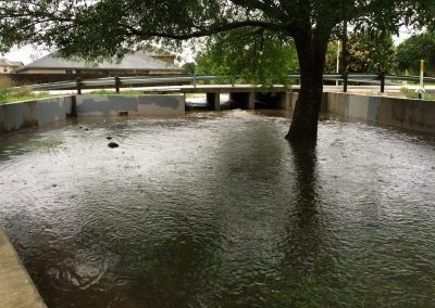
Sherwood Surveying and S.U.E. performed the design and right-of-way (ROW) surveying for this two-mile roadway and drainage widening and reconstruction project. The design surveying consisted of establishing survey controls, locating all improvements within the ROW, obtaining one foot contour information, locating apparent ROW and creating a DTM. The team also prepared ROW acquisition plats and field notes on 40+ parcels. Sherwood also prepared a QL-B utility map of the project area (between SH 46 and Barbarosa) including two miles of roadway and drainage outfalls. Numerous utilities were mapped including water, sewer, gas distribution, high pressure gas lines, electric (OH/UG), telephone (OH/UG), and cable-TV. This effort included Quality Level A (potholing) of existing high- pressure gas mains in the project area. The surveying and SUE work on this project has been completed.


